Stockton Lake
About Stockton Lake
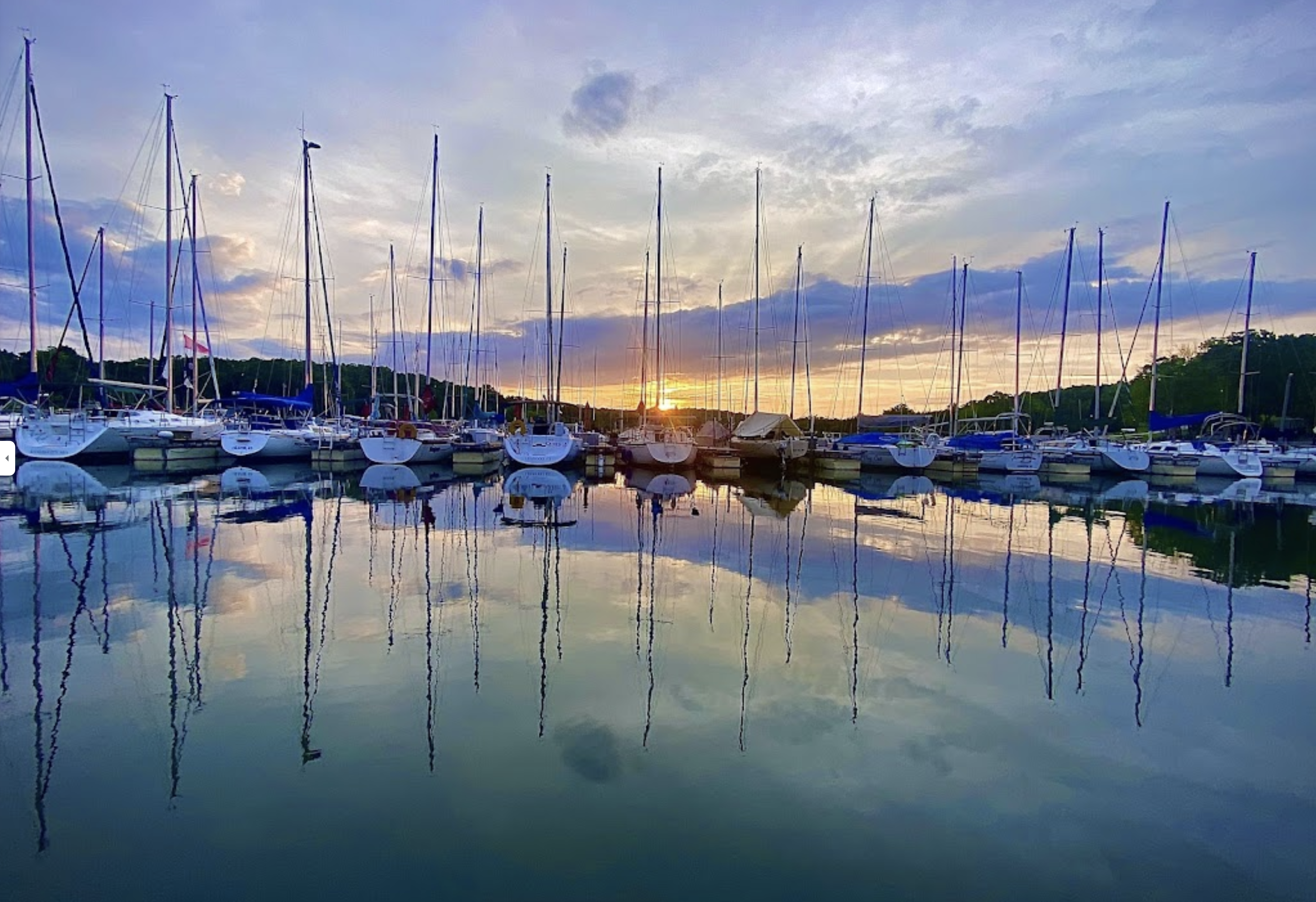
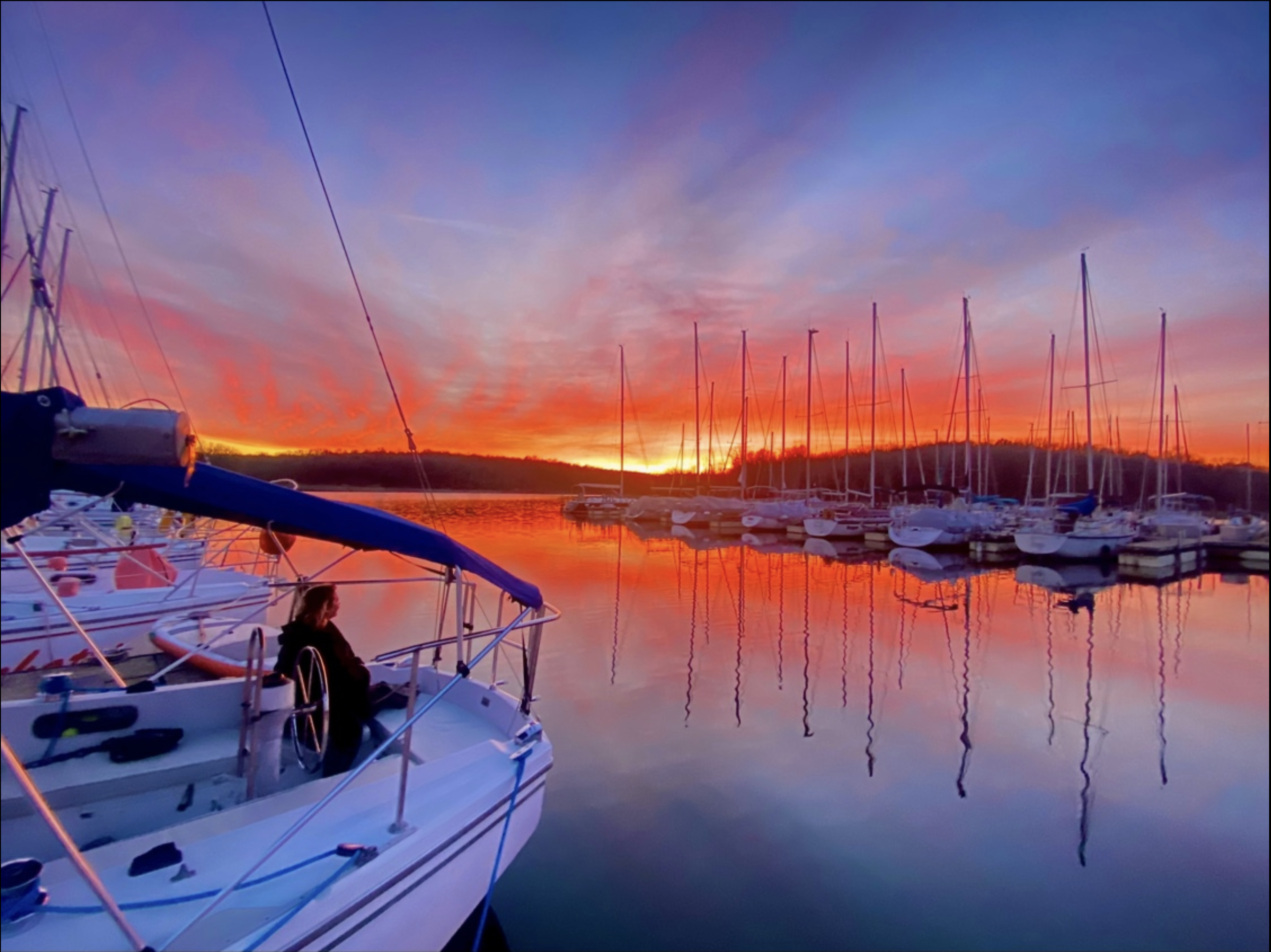
Stockton Lake is a reservoir located in southeastern Cedar County, northeastern Dade County, and southwestern Polk County, Missouri. The lake is ‘V’ shaped, and covers 39 square miles (100km2), with 298 miles (480km) of shoreline. It has three marinas, and 10 public-use areas. It has a “non-development policy,” and is surrounded by unspoiled, tree-covered hills. Its banks are owned and operated by the Army Corps of Engineers.
Stockton Lake is one of Missouri’s seven major lakes, all man-made. It was formed by damming the Sac River near the city of Stockton in 1969. The lake is crossed by three state highways over a network of six bridges. A pipeline carries water from Stockton Lake to Fellows Lake in northern Greene County to help supplement water for the city of Springfield. Stockton lake has numerous coves protected from the wind making it a great lake to wakeboard, water ski or other water sports. Learn more here: https://en.wikipedia.org/wiki/StocktonLake
Weather & Water Conditions
Stay up to date with current weather and water conditions here: https://www.nwk.usace.army.mil/Locations/District-Lakes/Stockton-Lake/Daily-Lake-Info-2/
Wind Conditions
https://www.windalert.com/windlist/65785
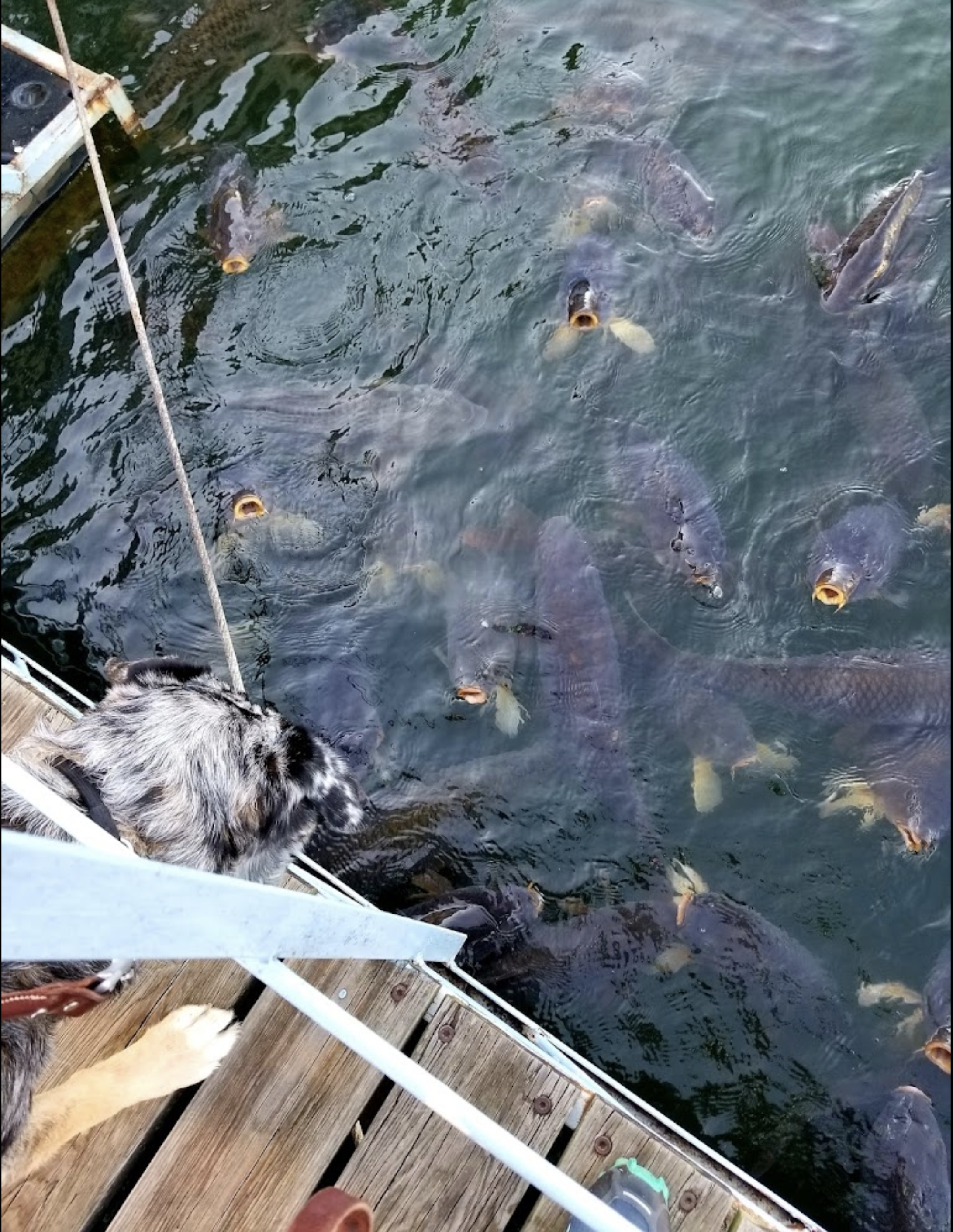
Fishing Reports
View fishing reports and more at
https://mdc.mo.gov/fishing/fishing-prospects/areas/stockton-lake
https://www.hookandbullet.com/fishing-stockton-lake-stockton-mo/best-fishing-times
Location
15857 S 1525 Rd,
Stockton, MO 65785
From Springfield, Mo:
Travel Hwy 13 north to Hwy 32 West (at Bolivar, Mo), then Hwy 39 South (4 way stop in Stockton, Mo, make a left), then RB Rd East to Blake St South, you will come to a T, turn right, go to the top of hill and turn left. This will lead you down to the boat launch—our customer parking is to the left. All trailers must use upper parking lot.
From Kansas City, Mo:
Travel Interstate I-49 South to Hwy 54 East (at Nevada, Mo) to Hwy 32 East (at Eldorado Springs, Mo) to Hwy 39 South (4 way stop in Stockton, Mo, make a right), then RB Rd East to Blake St South, you will come to a T, turn right, go to top of hill and turn left. This will lead you down to the boat launch—our customer parking is to the left. All trailers must use upper parking lot.
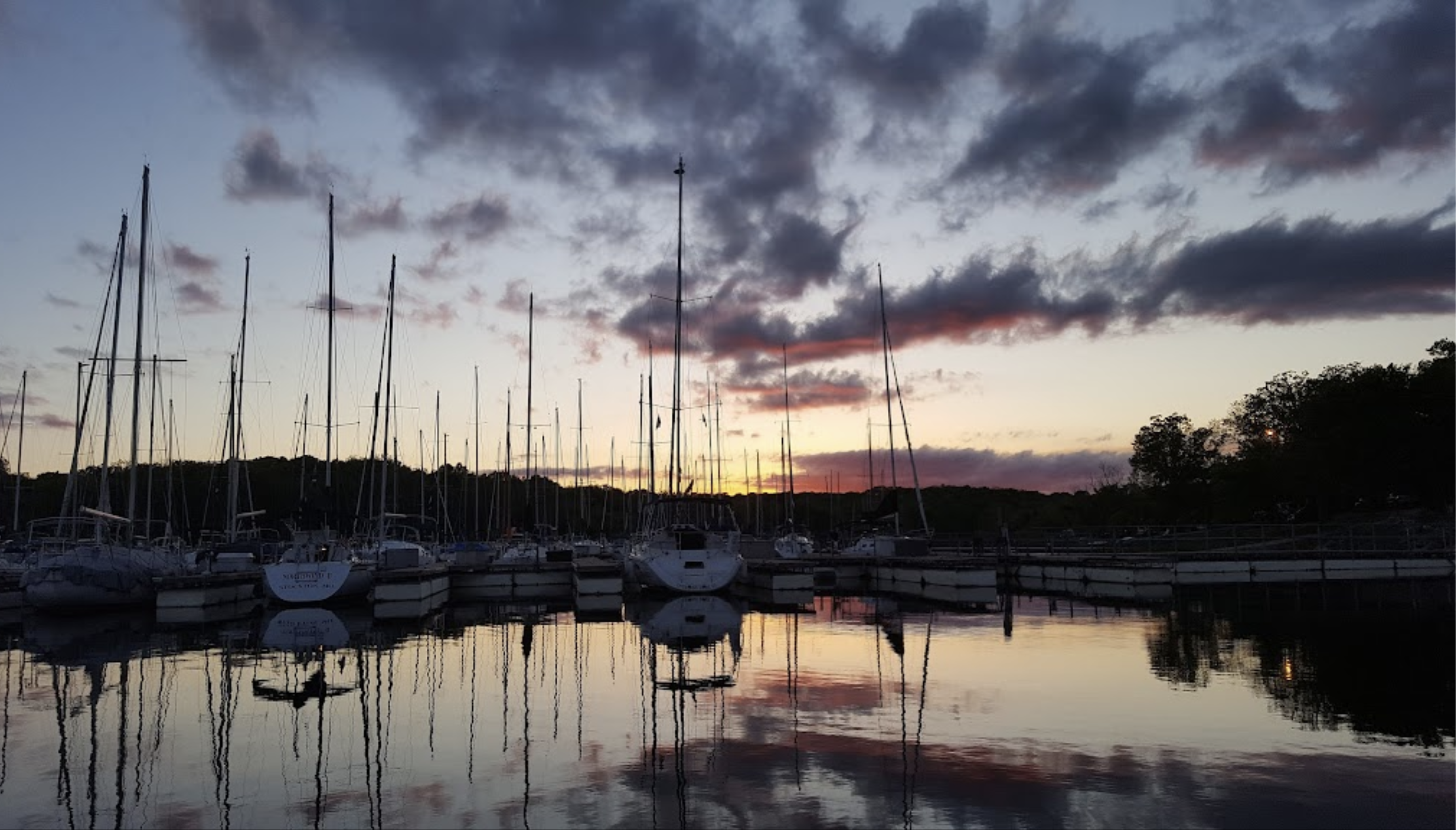
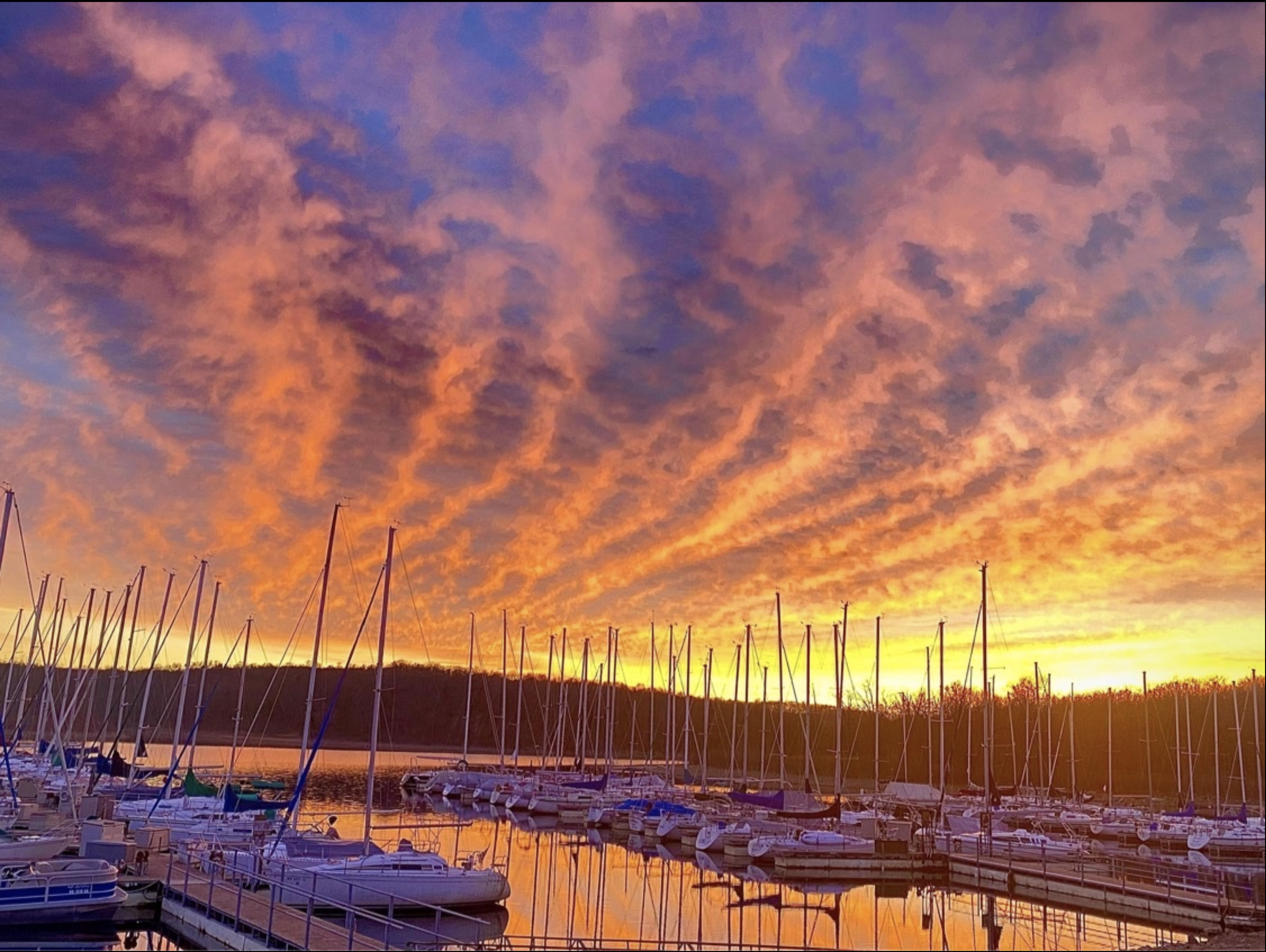
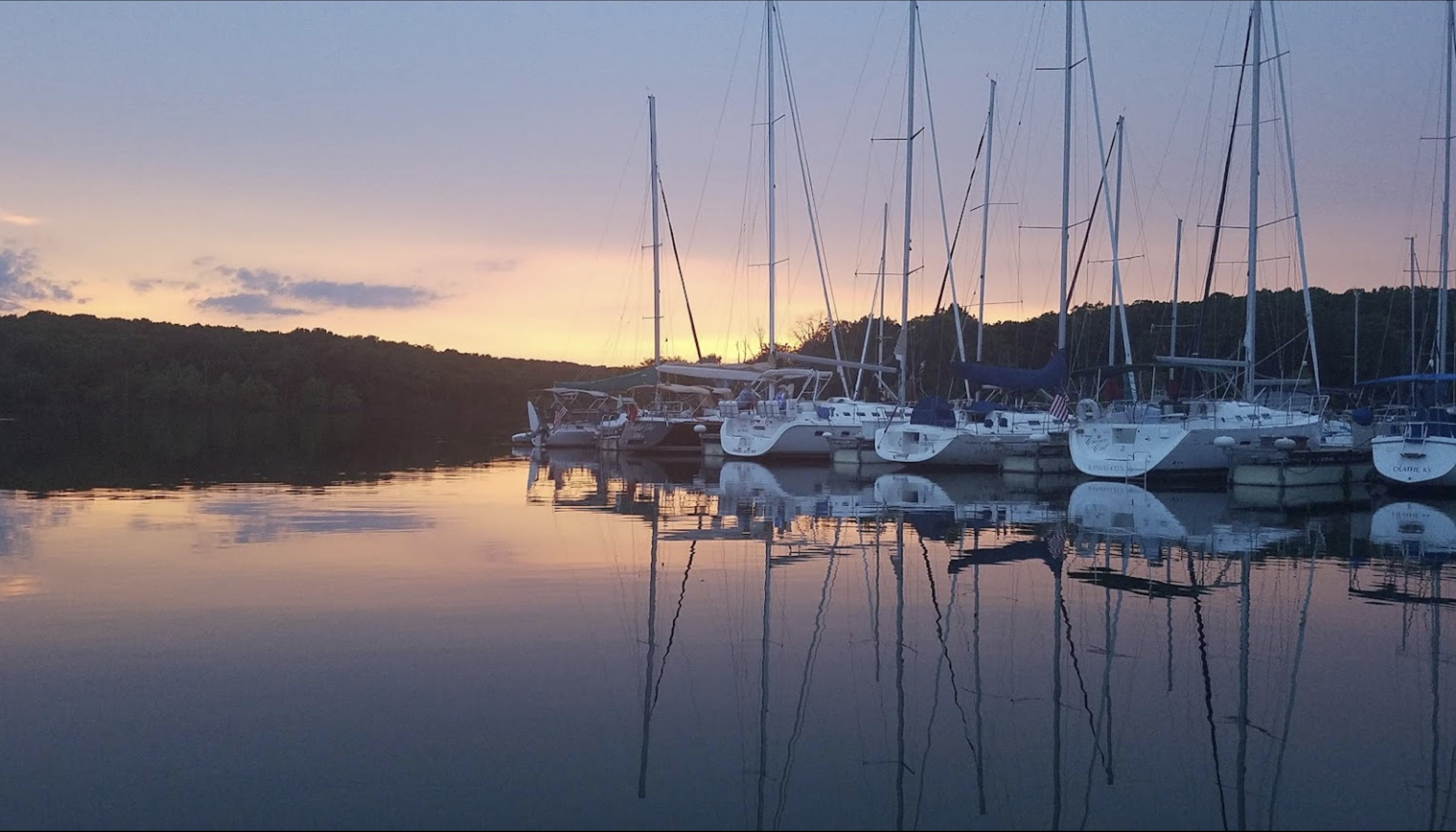
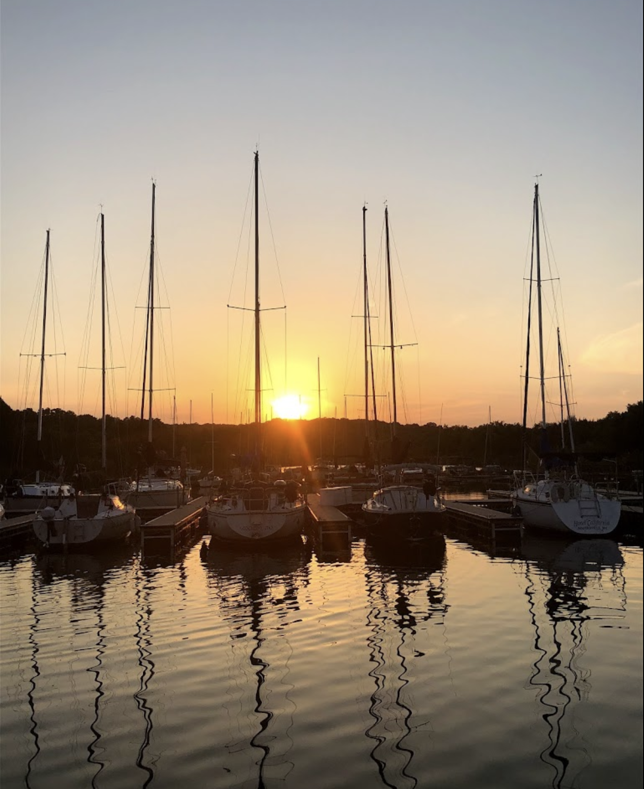
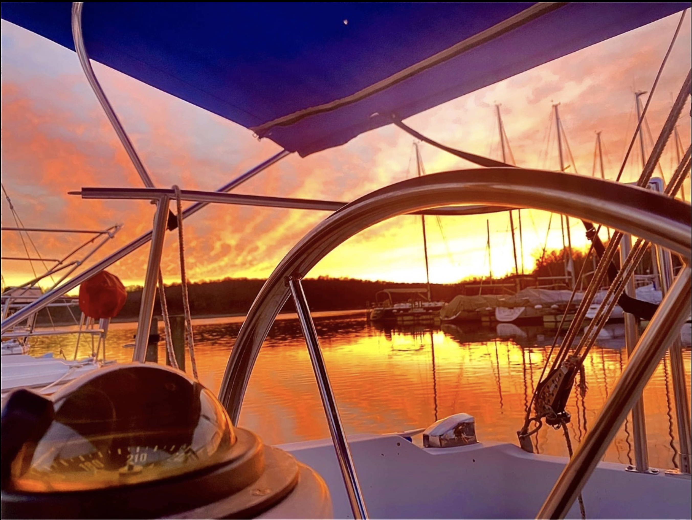
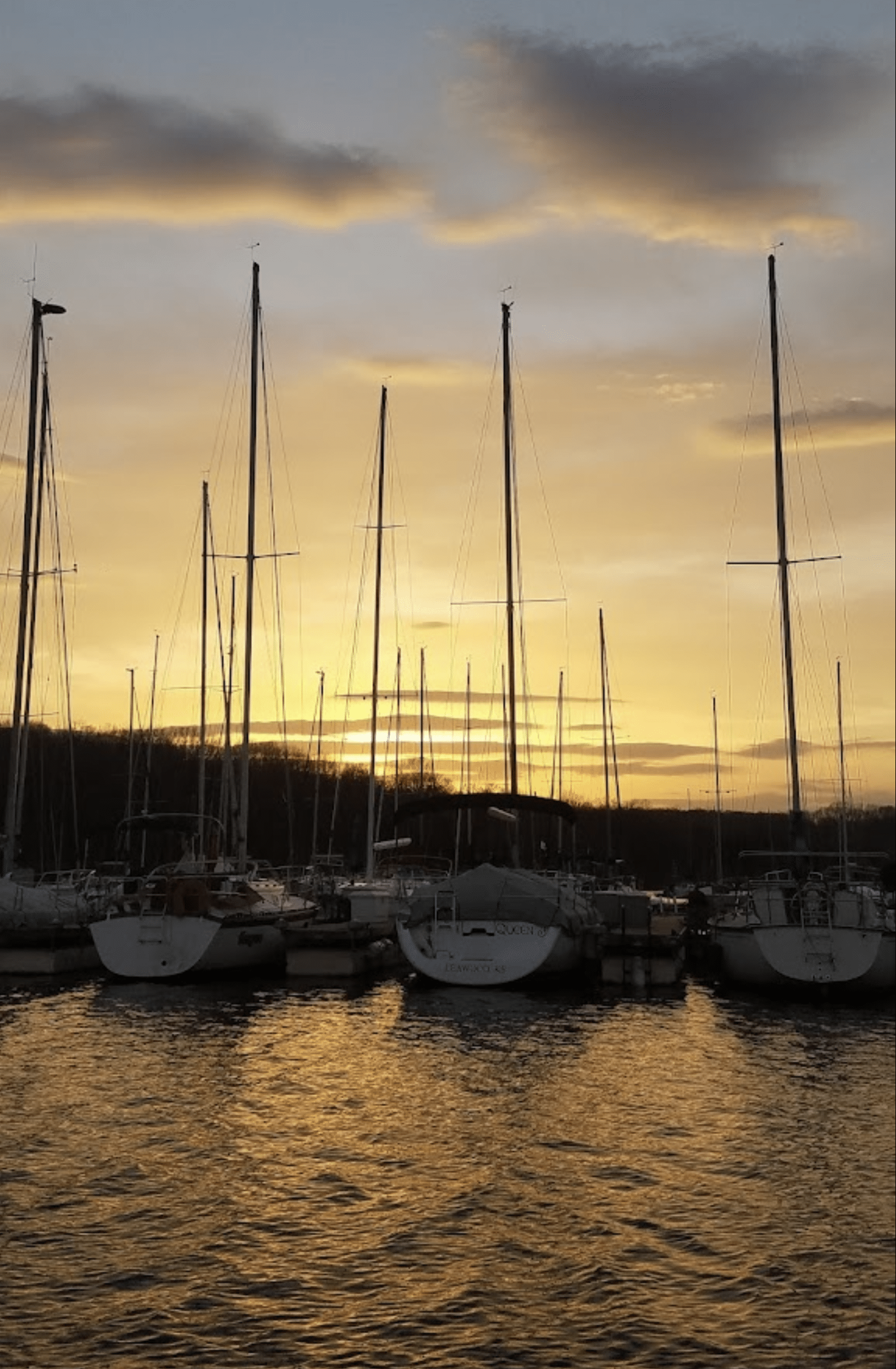
View Our Gallery